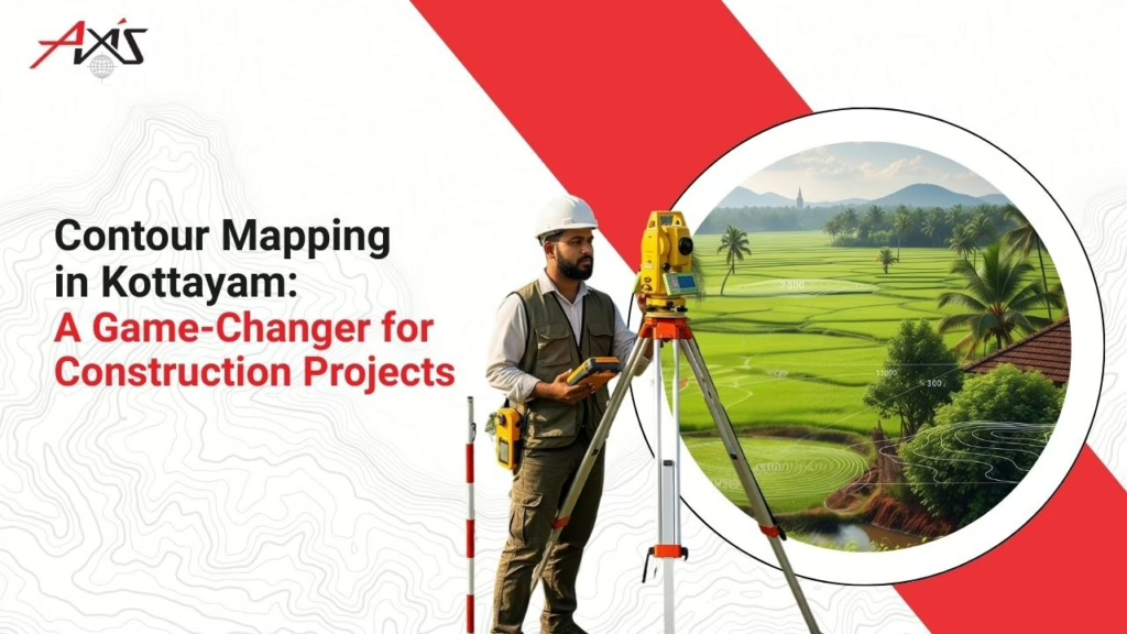

Once you are about to finalize a property in Kottayam for a house or a commercial building, many questions stay unanswered, and you often feel confused.
Will the available space be enough for the proposed design? Are the boundaries exactly where they are believed to be? Will the site support the planned construction? Here comes the importance of land mapping services.
Property owners, architects, engineers, and builders often use land-mapping services to understand a site in detail before making important decisions. Land mapping promises accurate details on boundaries, dimensions, contours, and site conditions. This prevents misunderstandings and improves planning throughout the project. Choosing the best service provider also plays a key role in the quality of services you pay for.
Introducing Axis Surveyors
Most people notice the finished building. They notice the architecture, the interiors, and the final result. What often goes unnoticed are the early steps, like understanding the land.
For more than 25 years, Axis Surveyors has been working with property owners, builders, architects, and developers who need reliable survey information before going ahead with their projects. Based in Kottayam, the company provides digital surveying and geological investigation services for residential, commercial, and infrastructure developments. The portfolio covers projects of different sizes and requirements. While every project is different, the need for accurate site information remains the same.
What Is a Land Survey?
A survey looks at a piece of land differently from a human eye. When we note the roads and buildings, a land survey creates a detailed picture of the property by identifying important features such as boundaries, levels, access points, existing structures, and other site details that may influence future plans.
When planning a house, a commercial building, or a larger development, you need accurate information about the site. An architect preparing a design needs to know the actual dimensions available. An engineer needs to understand the physical characteristics of the land before recommending structural solutions.
A survey helps bring all this information together in the form of maps and drawings that can be used for planning, approvals, design, and construction activities.
The land itself does not change. What changes is the level of understanding people have about it.
Benefits of Accurate Land Mapping
- Better Planning From the Beginning – Once architects and engineers get a detailed idea of the land boundaries, terrain, slopes, and drainage patterns, their planning goes in the right direction, and things go really smoothly.
- Helps Avoid Boundary-Related Issues – Property boundaries are not something most people think about every day. However, they quickly become important when construction begins. A misunderstanding about boundaries can create delays, disagreements, and unexpected expenses. Accurate land mapping services help establish clear records and provide confidence about property limits. For property owners, that clarity can be extremely valuable.
- Supports Better Design Decisions – Every site has its own characteristics. Some plots are level and straightforward. Others have slopes, access limitations, or features that need to be considered during planning. The more information available during the design stage, the easier it becomes to create practical and efficient solutions. Good designs often begin with a good understanding of the land.
- Helps Reduce Costly Changes – Everything appears to be moving according to plan until an unexpected issue appears. A measurement is different from what was assumed. A site condition requires changes. Part of the original design needs to be adjusted. Accurate land mapping services help identify potential concerns early. Making adjustments during planning is usually easier than making them after construction has already started.
- Provides Greater Confidence – Every major project involves important decisions. Whether someone is building a family home or developing a commercial property, confidence matters. Reliable survey information gives project teams a stronger foundation for decision-making. Instead of relying on estimates, they can move forward using accurate data.
How Can Axis Help?
Axis Surveyors provides a wide range of services designed to support construction, infrastructure development, and land management projects.
Their services include:
- Digital Land Survey
- Area Surveying
- Preparation of Contour Maps
- Setting Out Works
- Earthwork Calculation
- Documentation Drawings of Existing Buildings
- GPS & GIS Mapping
- Surveys for Roads, Bridges, and Railway Projects
- Soil Investigation
- Total Station Survey Training
The team delivers accurate results. They have the most experienced professionals who use modern surveying technology and proven industry practices. Their team listens to all your needs and suggests the best survey approach. From there, the focus shifts to collecting and sharing information that can support planning and execution.
Why Choose Us?
- More than two decades of experience! – Over all these years, we have successfully handled a variety of projects. We have been refining our skills to master a wide variety of surveying and site-related challenges to help our clients.
- Modern Technology – Surveying has changed significantly over time. We have been practicing and updating all along! Today, when advanced digital equipment enables surveyors to capture highly accurate information and deliver detailed outputs, our team masters its use!
- Thousands of Completed Projects – Every completed project contributes to practical knowledge. We treat every project as new, so we learn a lot from all of them! No two projects seem the same to us. We have helped homeowners, businessmen, and industry experts in Kottayam with our land-mapping services.
- Commitment to Accuracy – In surveying, details matter. Even small measurement differences can influence planning decisions. Axis Surveyors places strong emphasis on accuracy throughout every stage of the surveying process.
- Focus on Client Satisfaction – Clients rely on survey information when making important decisions. Client satisfaction comes from dependable service, stage-by-stage updates, and accurate land mapping.
Construction projects involve designs, approvals, budgets, materials, timelines, and more! Yet the planning depends greatly on understanding the land correctly from the beginning. Accurate land mapping services provide the information needed for the right design and plan that suits the land!
Before construction begins, it is worth taking the time to understand the site properly. The information gathered today can help prevent challenges tomorrow.
FAQs
A. Land mapping services provide accurate information on boundaries, dimensions, elevations, and site conditions, supporting planning and construction activities.
A. We recommend a land survey before purchasing property, starting construction, subdividing land, or undertaking major development projects.
A. Yes. Accurate survey information helps establish clear property boundaries. Neighbors do not have any misunderstandings about their boundaries!
A. A survey can provide details about property boundaries, dimensions, elevations, contours, existing structures, and other site characteristics.
A. Yes. Axis Surveyors offers digital land surveying, contour mapping, GPS and GIS mapping, soil investigation, and several other related services.