When you are buying a piece of land, dividing a property, planning a construction project, or simply trying to understand the exact boundaries of your plot, one thing becomes important pretty quickly — how accurate is the survey?
Land surveying wasn’t always about screens, digital maps, and data you could check later. A lot of it depended on people being on the ground, taking measurements, checking points, and working things out carefully. That approach still works, especially for certain types of land and survey work. But things have moved on. Today, digital tools can capture the land in much more detail and make the information easier to use when you actually need it — whether you are buying the property, planning a building, or trying to settle a boundary question.
So, does that automatically make digital land surveying better?
Not always. It depends on the property, the purpose of the survey, and the level of accuracy you need. This is where the difference between digital and traditional land surveying becomes important.
With more than 25 years of experience, Axis Surveyors uses modern surveying technologies while keeping the client’s actual requirements at the center. In this guide, let’s look at both approaches and see which one makes more sense for different land surveying needs.
What Is Traditional Land Surveying?
Think of a small piece of land that has been in your family for years. Now you want to divide it between two children, sell part of it, or start building a house. The first question probably isn’t about technology. You want to know: Where exactly does my land end?
This is where traditional land surveying has been used for years.
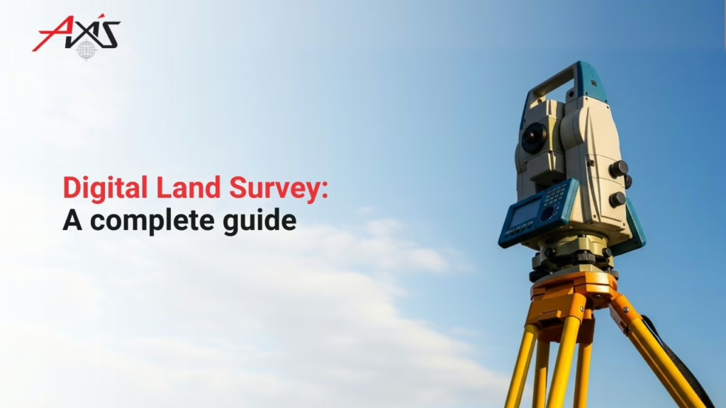
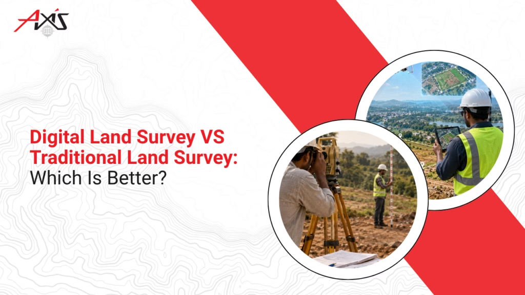
The surveyor visits the property, takes measurements, checks distances, angles, and levels, marks important points, and works out the boundaries. Depending on the job, tools such as tapes, levels, theodolites, or total stations may be used.
It is a method that still works.
For a small, fairly straightforward plot, there may be no need to bring in complicated technology just for the sake of it. A skilled surveyor with the right equipment can provide the measurements needed.
But what if the land is large?
Or there is a slope running through it, an old building in one corner, a wall that may not be in the correct place, and several other features that need to be mapped?
Now the job becomes more demanding. More points to measure and more information to record. Naturally, this can mean more time in the field and more checking.
Traditional surveying snapshot:
A practical, well-established approach that works well for many straightforward survey jobs, particularly where the site and the information required are relatively simple.
Why Is Digital Land Surveying Becoming More Common?
Now imagine the same situation, but this time the property is much larger. You are planning a building project, and the architect needs to understand the land’s slope. The engineer needs levels. The contractor needs accurate site information.
Suddenly, a few boundary measurements are not enough.
This is where digital land surveying becomes useful.
Modern surveying can use technologies such as GNSS/GPS, drones, laser scanning, GIS, and other electronic instruments to collect a much more information about a site.
The useful part is what happens to that information afterward.
Instead of the survey being something you look at once and put away, digital data can be stored, shared, and used by different people working on the same project. An architect can use it for planning. An engineer can work with coordinates and elevations. A contractor can refer to the site information before construction begins.
That can make a real difference on a complicated project.
Does that mean digital surveying is always faster or automatically more accurate?
Not necessarily.
The technology still needs to be used properly. Equipment has to be set up correctly, the site needs to be understood, and an experienced professional needs to interpret the survey data.
Digital surveying snapshot:
A technology-based approach that can capture and handle large amounts of site information efficiently, making it particularly useful for bigger, detailed, or complicated projects.
Digital Land Survey vs Traditional Land Survey: Key Differences
Here is the difference at a glance:
| Factor | Traditional Survey | Digital Survey |
|---|---|---|
| Data collection | More manual measurement | Electronic and digital collection |
| Large areas | Can take more field time | Better suited to larger sites |
| Accuracy | Can be highly accurate with skilled work | High precision when properly carried out |
| Data handling | More dependent on plans and drawings | Easier to store, share and process |
| Output | Plans, drawings and measurements | Digital maps, coordinates, 2D/3D data and models |
| Best for | Straightforward survey requirements | Complex sites and detailed projects |
So, Which One Is Better?
This is where the answer isn’t as simple as “digital wins.”
Instead of asking “Which technology is better?”, ask:
What does this particular property need?
The size of the land, its condition, the purpose of the survey, and how the information will be used all matter.
This is where the surveyor’s experience comes in too. At Axis Surveyors, the first step is understanding the client’s requirements and the site before choosing the right surveying approach. With more than 25 years of experience in land surveying and geological investigation, the team combines field experience with modern surveying technology.
Because in the end, the best survey is not simply the one using the newest equipment. It is the one that gives you reliable information you can actually use.
How Can Axis Help?
At Axis Surveyors, we don’t believe every piece of land needs the same kind of survey. Some projects are simple. Others need detailed digital data, contours, levels, or 3D information.
We start by understanding what our client needs, then choose the right approach. Our services include digital land surveys, topographical surveys, subdivision surveys, contour surveys, boundary refixing, leveling, and building setting out.
With 25+ years of experience, we have seen plenty of different sites and different surveying requirements. That experience helps us know where technology can make the job easier — and where good old field experience still matters.
Why Choose Us?
For us, it comes down to three things: accuracy, experience, and getting the work done on time.
We use modern surveying technology, but it’s only one part of the job. Our team knows how to collect the information, check it, and turn it into something our clients can actually use.
We have completed 4,000+ projects and worked with 2,500+ happy clients. That’s a lot of different plots, properties, and project requirements over the years.
And yes, we are proud of the numbers. But the real measure is whether our client gets the information they need without unnecessary complications.
Why our clients choose us:
- 25+ years of experience in land surveying and geological investigation
- 4,000+ projects completed across different types of land and requirements
- 2,500+ happy clients who have trusted our surveying services
- Modern surveying technology for accurate and reliable results
- Surveys for both major and minor projects
- Wide range of services, from land and boundary surveys to digital and topographical surveys
- Client-focused approach — we first understand the purpose and requirements of the survey
- Timely and practical survey information that can be used for planning, construction, and property decisions
Quick snapshot:
25+ years | 4,000+ projects | 2,500+ happy clients | Modern technology | Major & minor projects
So, digital or traditional land surveying?
There isn’t one answer for every property. A straightforward plot may only need a simple, well-executed survey. A large or complicated project may benefit greatly from digital surveying and detailed site data.
What matters is choosing the right method for the job.
At Axis Surveyors, that’s where our experience comes in. We combine 25+ years of surveying experience with modern technology to give our clients accurate, practical land information they can rely on.
FAQs
A. It can be, especially for detailed or larger sites, when the right equipment and expertise are used.
A. It depends on the land size, site conditions, and type of survey you need.
A. It is a good idea. A proper survey gives you the site details needed before planning and construction.
A. Yes. A boundary survey can help locate and verify your property boundaries.
A. There is no fixed time. A small plot may be quick, while larger or more complicated sites take longer.
A. Yes. We work on both major and minor surveying projects.