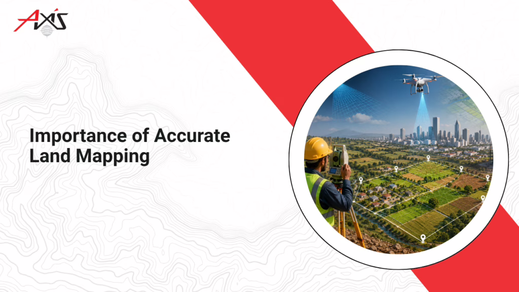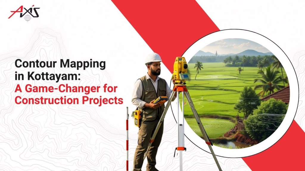
When planning a construction project in Kottayam, you need to understand the land beneath your feet—literally. Contour mapping the landscape gives a clear, detailed picture of your land’s elevations, slopes, and natural drainage patterns. It’s the key to avoiding waterlogging, unstable foundations, and unexpected excavation costs. Without it, you risk starting your dream project on shaky ground—both financially and structurally.
That’s where Axis Surveyors steps in.
With 25+ years of expertise, Axis Surveyors is the top Contour Surveyors in Kottayam. We combine passion, technology, and precision to offer digital contour mapping that brings your land’s complete profile to your fingertips. Our young and dynamic team ensures accurate insights before you even lay the foundation—saving time, money, and future trouble.
Whether you’re a builder, homeowner, or developer in Kottayam, let Axis Surveyors be the first step in your construction journey. We don’t just map land—we help you build with confidence.
What is Contour Mapping?
Let’s make it really easy.
Think about a playground with slides, small hills, and flat walking paths. If someone asked you to draw that playground on paper—not just where things are, but how high or low they are—you’d need a smart way to show that. That’s exactly what a contour survey does.
In simple words, contour mapping is like drawing lines on a map to show the shape of the land—where it’s flat, where it slopes, and where it’s steep. These lines help us “see” the ups and downs of land without being there physically.
Why is it important?
Let’s say you’re planning to build a house in Kottayam. Without contour mapping, you might build on a slope without realizing it—leading to water flow issues, uneven foundations, or extra construction costs. A contour map shows you everything clearly—before you start digging.
Planning to build in Kottayam?
Let Axis Surveyors help you avoid hidden land problems with precise contour maps when you search for ‘Residential contour surveyors near me’.
- Know the land
- Save time and money
- Build smarter
How Do Experts Create Contour Maps?
Creating a contour map is like putting together a detailed puzzle of the land’s highs and lows. But how do surveyors actually do it? Let’s break it down into three main approaches:
Old-School Precision: Manual Mapping
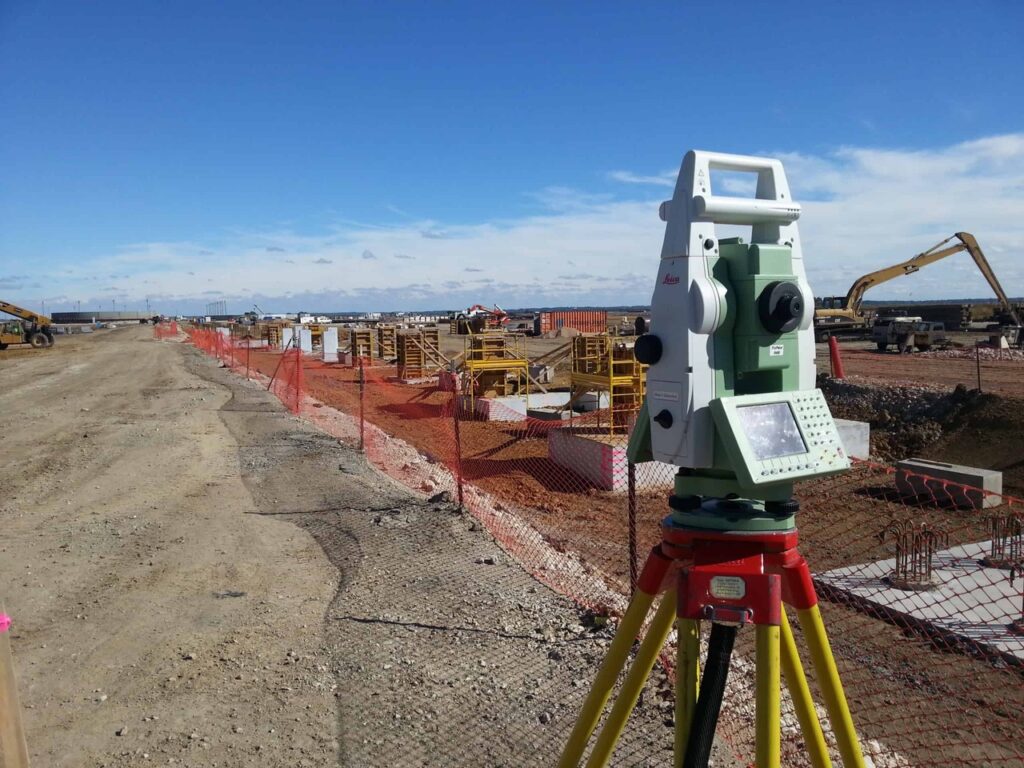
Before computers and drones came into play, surveyors walked the land with tools in hand. Using devices like total stations and theodolites, they carefully measured the height of different points on the ground. These height values—or spot elevations—were then marked on paper, almost like connect-the-dots. You get a contour line when you connect all points at the same height. Bit by bit, the land’s shape comes to life.
Next-Gen Tech: Digital Mapping
We’ve got smart technology doing most of the challenging work these days. Tools like drones, 3D scanners, and ground radar fly over or scan beneath the land to gather tons of useful information. It’s like giving the land a full-body scan—without lifting a shovel.
This data is then synced with satellite maps using GIS (Geographic Information Systems), which helps experts understand the land better than ever. Once everything’s collected, it’s fed into smart software like BIM or Petra to build a 3D version of your land—called a Digital Elevation Model (DEM).
The result? A super accurate, detailed map showing exactly where the land rises, falls, or stays flat aids you in smart building decisions.
The Best of Both Worlds: Hybrid Mapping
In most real-world projects, surveyors combine the strengths of both methods. They gather on-site measurements and use digital tools to cross-check and refine the data. Then, software like AutoCAD translates the information into clean, clear contour maps. This gives builders, planners, and engineers a complete, reliable picture of the land.
How Does Contour Mapping Help in Construction?
Have you ever seen a beautifully built home where everything fits—the view, the slope, even how the rainwater drains perfectly? That’s no happy accident. Behind the scenes, contour mapping plays a big role in making smart, cost-effective building decisions.
Let’s walk through how it helps at every project stage—with a real-world touch.
- Choosing the Right Spot: Site Selection & Land Use Planning – Imagine buying land in Kottayam with big dreams of building your home. But later, you realize—it floods every monsoon! Or the slope is too steep for your plan.
- Contour mapping saves you from that headache – It helps architects and builders see how the land rises or dips, so they can suggest the best way to use it—or tell you to look elsewhere.
- Is your plot really buildable the way you imagine? A contour map will tell you upfront.
- Smart Building Choices: Placement & Design – Let’s say your land slopes gently in one direction. With that info, your architect can place the house so rainwater flows away from the building—not into your living room.
- Foundation design, room orientation, and even landscaping all benefit from this knowledge. Want more sunlight in your living room during winter? A contour map helps you find the perfect angle.
- Why guess where to place your home when the land can guide you?
- Budgeting Made Better: Earthwork & Grading – Excavation can be expensive. And guess what—moving soil around unnecessarily burns money fast. Contour maps show you how much earth needs to be cut or filled, helping builders reduce costs and avoid surprises. Instead of fixing problems later, they plan smarter right from the beginning.
- Wouldn’t spending on interiors be better than redoing the foundation?
- Avoid Trouble: Risk & Safety – No one wants to deal with landslides, waterlogging, or unstable ground. But without proper land data, many people walk straight into these problems.
- Contour mapping identifies risky areas—like sharp slopes, low-lying zones, or soft soil—so engineers can take safety measures before it’s too late. That means fewer delays, fewer accidents, and more peace of mind.
- Would you drive blindfolded? Then why build without knowing your land first?
Whether you’re building a home, resort, school, or commercial site in Kottayam—Contour mapping isn’t a luxury. It’s a must.
And that’s where Axis Surveyors comes in. With over 25 years of experience and the latest tools in land surveying, we help you see what your land is really saying that before the first brick is laid.
Where Can Contour Mapping Make a Difference?
Contour mapping isn’t just for massive construction sites. It plays a key role in shaping smart decisions across various projects. Let’s take a quick look at where it truly shines:
Residential Buildings
Are you thinking about building your dream home on a slope or uneven plot? It’s exciting and tricky if you don’t know what’s hiding beneath the surface. That’s where contour mapping comes in. It shows your architect how the land rises and falls so they can design your home to fit the terrain—not fight it. That means stronger foundations, proper drainage, and rooms that feel just right. In short, it ensures your home is safe, stable, and built smart from the ground up.
Hotels
For hotel projects—especially in scenic locations like hilltops or lakesides—contour maps guide planners in placing buildings for the best views, easy access, and smooth drainage. It also helps in integrating landscaping and pools without heavy excavation costs.
Resorts
Building a nature-friendly resort in places like Vagamon or Kumarakom? Contour mapping helps you blend structures into the natural terrain. Whether it’s creating pathways, cottages on slopes, or water features, this map helps preserve the site’s beauty while ensuring functional design.
Agricultural Land Development
Planning a farm or plantation in the hilly areas of Kottayam? Contour mapping helps design terraces, irrigation systems, and drainage channels that follow the land’s natural flow. This prevents soil erosion and improves water usage—which is key for long-term farming success.
Educational Institutions & Campuses
When schools, colleges, or training centers are built on large plots, a contour map helps plan building locations, sports grounds, parking areas, and internal roads efficiently. It ensures accessibility, proper drainage, and safety for students and staff.
Theme Parks & Recreational Spaces
In large recreational parks or amusement zones, contour mapping allows for creative and safe layout designs. Think water rides flowing downhill, walking trails through natural contours, or viewpoints placed at higher elevations without fighting nature.
Contour mapping is more than a technical term—it’s a planning tool with real-world value. Whether farming, teaching, entertaining, or building for industry, it ensures you build smarter, safer, and in harmony with the land.
Who provides the best contour mapping services in Kottayam?
Our Legacy in Kottayam: 25+ Years of Precision
Axis Surveyors isn’t just another land surveying company. With over two decades of experience and a dedicated team of professionals, we’ve helped shape some of Kottayam’s most complex and beautiful projects. We’ve mapped everything from homes on rugged terrain to large-scale government surveys.
Our passion lies in combining cutting-edge technology with deep local knowledge to offer accurate, fast, and incredibly reliable services.
What We Offer? Contour Mapping Made Simple
At Axis, we use drones, digital scanners, total stations, and GIS-integrated software to create 3D models of your property. These models help:
- Plan structures that match the natural slope
- Prevent drainage issues
- Minimize unnecessary excavation
- Ensure long-term structural stability
Whether it’s a small residential plot or a large resort layout, our contour maps lay the foundation—literally—for thoughtful planning.
Why Choose Axis Surveyors?
- Local Experts – We know the land, soil, and terrain of Kottayam like the back of our hand, and we serve your need for the search-‘Best contour surveyors near me’
- High Accuracy – No guesswork. Just precise digital data you can trust.
- Faster Turnaround – We deliver results fast thanks to modern tools and efficient workflows.
- All-in-One Services – From soil testing and area surveying to documentation and digital modeling—we handle it all.
- Customer First – We believe in long-term relationships and clear communication.
- Proven Portfolio-From private residences to resorts, highways to infrastructure projects—our maps have shaped hundreds of successful builds across Kerala.
Contour mapping isn’t just for big builders. If you’re serious about making your land work for you, you need the right data before laying a single brick. And Axis Surveyors is here to guide you at every step.
Planning a new project?
Reach out to Axis Surveyors today. We’ll help you map out the future—literally.