For decades, the humble tape measure and chain were the undisputed kings of land surveying. But just as Kerala’s skyline is evolving with modern infrastructure, so too are the tools and techniques used to map its very foundations. At Axis Digital Land Survey and Consultancy in Kottayam, we’re at the forefront of this transformation, bringing cutting-edge digital land survey solutions to engineers and civil contracting firms across the state. It’s no longer just about measuring; it’s about precision, efficiency, and intelligence.
The Limitations of Traditional Surveying:
Traditional land surveying, while foundational, comes with inherent limitations. Manual measurements are prone to human error, time-consuming, and often struggle with complex terrains or large-scale projects. Think about mapping a sprawling construction site or a challenging hilly road project in the Western Ghats – manual methods quickly become cumbersome and less accurate. Delays on site, rework, and costly errors can often be traced back to outdated surveying practices.
The Dawn of Digital: What’s the Difference?
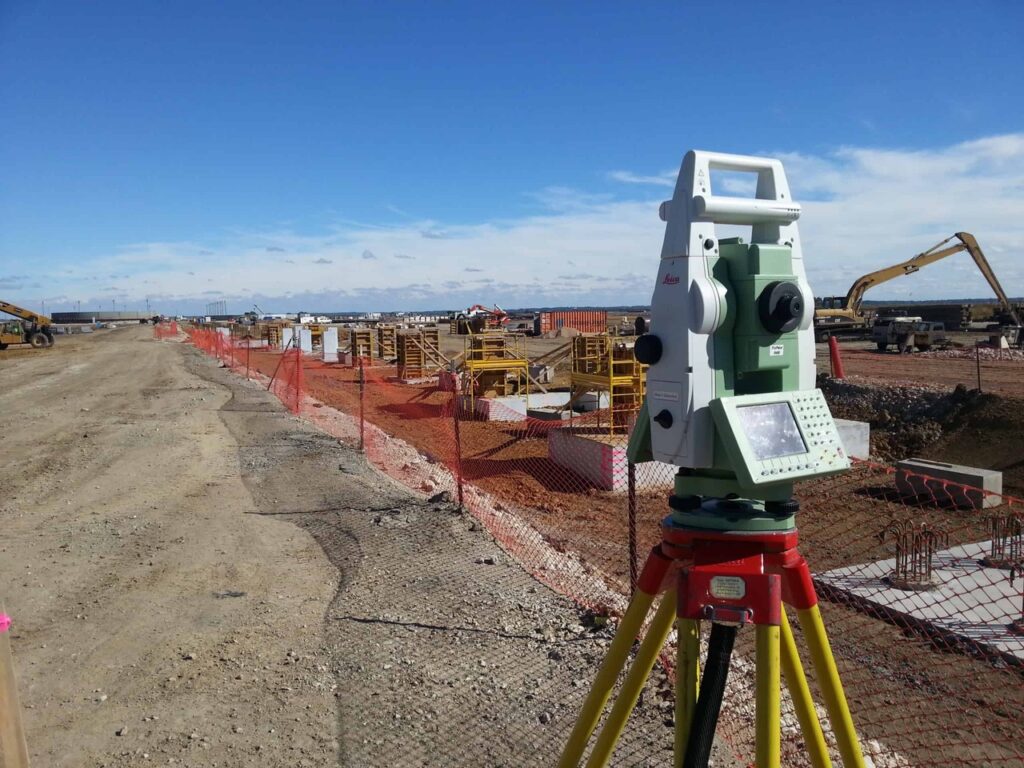
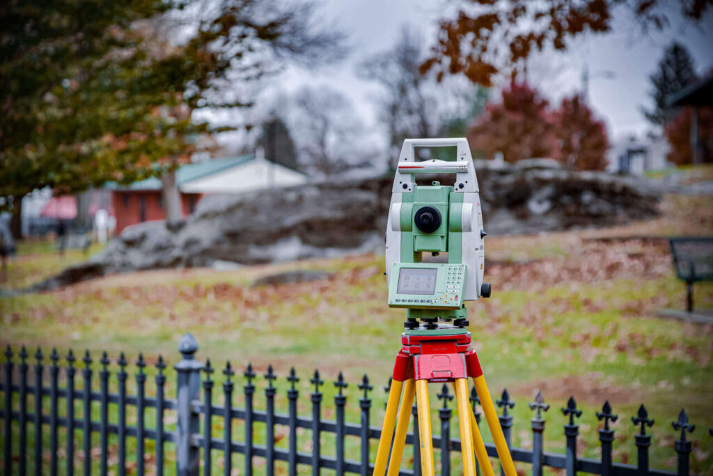
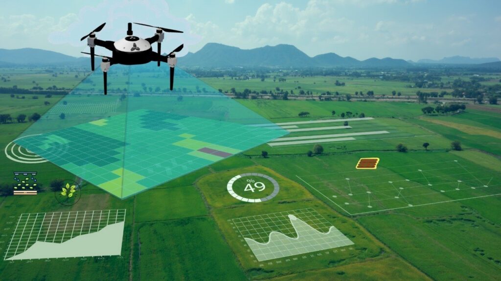
Digital land surveying employs advanced technologies like Total Stations, DGPS (Differential Global Positioning System), and even drones to capture highly accurate spatial data. Instead of isolated points, we can collect millions of data points to create detailed 3D models of the terrain.
Here’s how it makes a difference:
- Unmatched Precision: Digital instruments minimize human error and provide sub-centimeter accuracy, crucial for critical infrastructure projects.
- Speed and Efficiency: Data collection is significantly faster, allowing projects to move forward without unnecessary delays. This means less time on site and quicker delivery of crucial information.
- Comprehensive Data: We don’t just provide boundary lines. Our digital surveys generate detailed topographic maps, elevation models, volumetric calculations for earthwork, and even precise locations of existing utilities.
- Enhanced Visualization: With 3D models and CAD integration, engineers can visualize the site in detail, identify potential challenges, and plan more effectively before breaking ground.
- Reduced Rework: Accurate initial data translates directly into fewer errors during construction, saving both time and material costs.
Axis Digital: Your Partner in Modern Construction
At Axis Digital Land Survey and Consultancy, we understand the unique challenges faced by engineers and contractors in Kerala. From urban developments in Kochi to intricate road projects in the high ranges, our digital survey solutions provide the reliable data you need for successful project execution. We offer:
- Topographic Surveys: Detailed mapping of land features, contours, and elevations.
- Volumetric Calculations: Precise measurement of cut and fill for earthwork planning.
- Site Layout and Staking: Accurate positioning for foundations, utilities, and structures.
- As-Built Surveys: Verifying completed construction against design plans.
Conclusion:
Embracing digital land surveying is no longer an option; it’s a necessity for modern construction in Kerala. It’s about building smarter, faster, and more economically. If you’re an engineer or civil contractor looking to elevate your project accuracy and efficiency, contact Axis Digital Land Survey and Consultancy today. Let’s build the future, precisely.