In today’s data-driven world, simply knowing where things are isn’t enough. We need to understand why they are there, how they relate to other features, and what implications these spatial relationships have. This is where GIS (Geographic Information System) mapping transcends traditional surveying, transforming raw data into actionable insights. At Axis Digital Land Survey and Consultancy in Kottayam, we are harnessing the power of GIS to help engineers, civil contractors, and government bodies in Kerala make smarter, more informed decisions for their projects and planning.
What is GIS Mapping?
At its core, GIS is a system designed to capture, store, manipulate, analyze, manage, and present all types of geographical data. Unlike static maps, a GIS map is dynamic and layered. Imagine a city map where you can toggle layers to see:
- Road networks
- Underground utility lines
- Building footprints
- Population density
- Topography
- Environmental zones
Each layer represents a different dataset, all spatially linked.
How GIS Transforms Data into Intelligence:
- Data Integration: GIS allows us to bring together diverse datasets from various sources – our precise land surveys, public records, satellite imagery, demographic data, environmental studies, and more – and overlay them to reveal patterns and relationships.
- Spatial Analysis: This is where the magic happens. GIS isn’t just about showing data; it’s about analyzing it. We can perform complex queries like:
- Identifying optimal routes for new infrastructure to minimize environmental impact or land acquisition costs.
- Analyzing flood plain susceptibility in relation to proposed developments.
- Locating the most suitable sites for new public facilities based on accessibility and population needs.
- Calculating the exact impact of land use changes on watershed areas.
- Enhanced Visualization: Complex data becomes easy to understand through intuitive maps, dashboards, and 3D models. This visual clarity aids communication among stakeholders, from engineers to policymakers.
- Better Planning and Resource Allocation: For government bodies, GIS is indispensable for urban planning, disaster management, resource allocation, and smart city initiatives. For civil contractors, it helps optimize logistics, manage project assets, and understand site complexities better.
- Asset Management: Imagine a comprehensive map of all your assets – roads, bridges, pipelines, buildings. GIS allows for real-time tracking, maintenance scheduling, and efficient management of these assets, leading to significant long-term savings.
Axis Digital’s GIS Capabilities for Kerala:
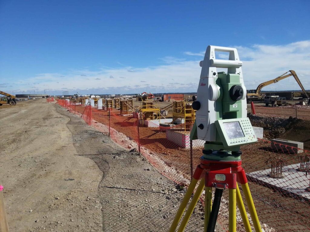
At Axis Digital Land Survey and Consultancy, we integrate our highly accurate digital land survey data (from Total Stations, DGPS, and even drone surveys) directly into robust GIS platforms. Our services include:
- GIS Database Creation: Building comprehensive spatial databases tailored to your project needs.
- Spatial Analysis and Modeling: Performing advanced analyses to answer specific planning and engineering questions.
- Custom Map Production: Creating clear, informative maps for reports, presentations, and public display.
- GIS Consulting: Advising clients on how to best leverage GIS for their ongoing operations and future projects.
From optimizing urban development in Kottayam to planning sustainable resource management across Kerala’s districts, GIS provides the intelligent framework for smart decision-making.
Conclusion:
In a state undergoing rapid development, making decisions based on fragmented information is a gamble. GIS mapping provides the holistic, integrated view needed to navigate complex projects and plan for a sustainable future. If you’re looking to transform your data into strategic insights, contact Axis Digital Land Survey and Consultancy today. Let us help you unlock the power of spatial intelligence for your next endeavor in Kerala.