When it comes to precise land measurement and mapping, two technologies often stand out: DGPS (Differential Global Positioning System) and Total Stations. At Axis Digital Land Survey and Consultancy in Kottayam, we utilize both extensively, and understanding their unique strengths is key to selecting the most appropriate solution for your specific project needs in Kerala. While both deliver accuracy, they excel in different scenarios.
Understanding the Technologies:
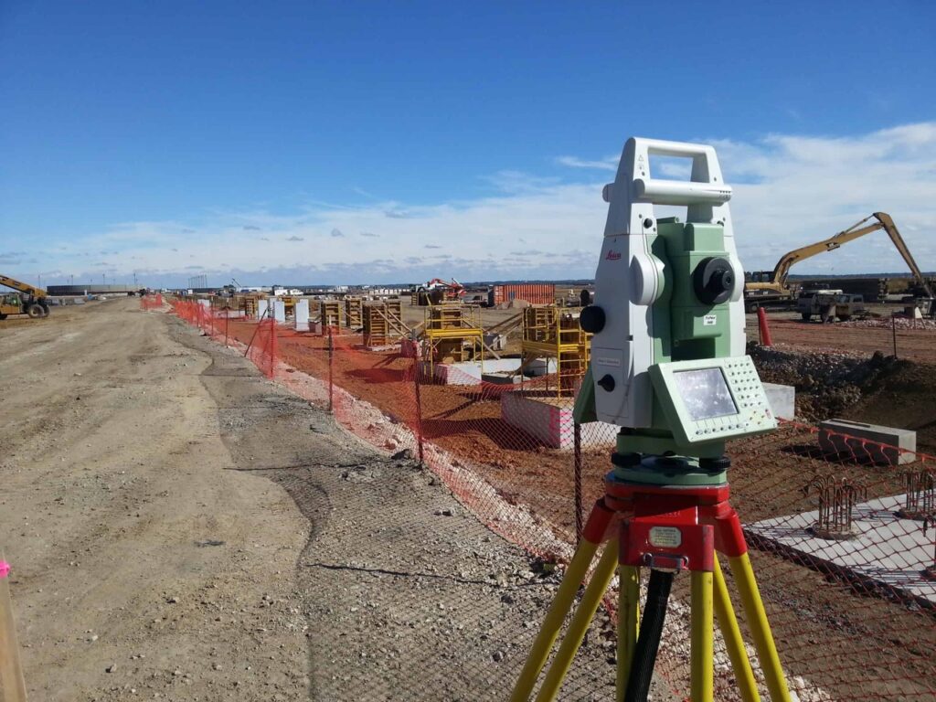
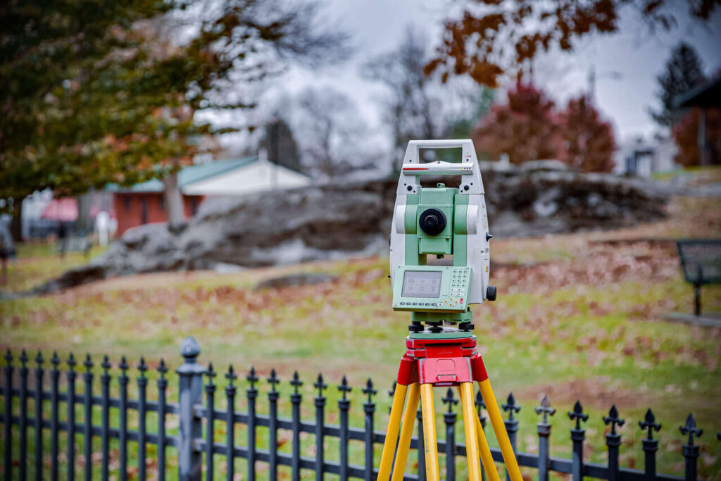
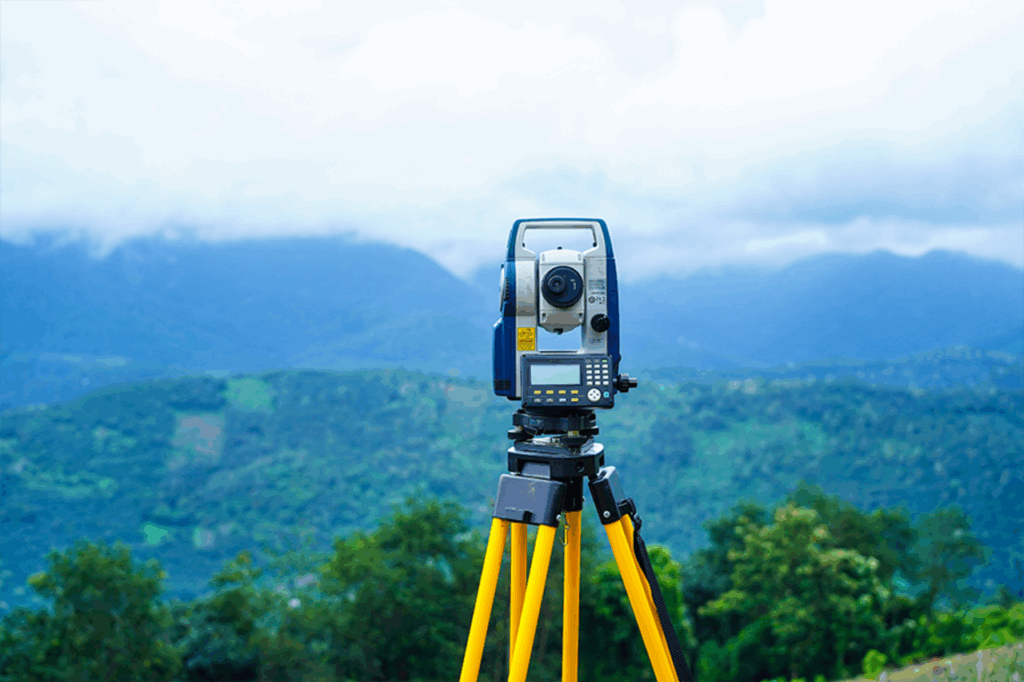
- Total Station: A Total Station is an electronic/optical instrument used for angle measurements, distance measurements, and coordinate determination. It combines an electronic theodolite (for angles) with an electronic distance meter (EDM) and often has a built-in microprocessor for data collection and calculations.
- How it Works: It works by measuring angles and distances from a known point to various target points. Line of sight is crucial.
- Strengths:
- High Precision in Localized Areas: Excellent for detailed site work, building layouts, structural monitoring, and situations where very tight tolerances are required over shorter distances.
- Works Indoors/Under Canopies: Not reliant on satellite signals, making it suitable for areas with limited sky visibility (e.g., dense urban areas, under heavy tree cover, inside structures).
- Versatile: Can be used for setting out points, as-built surveys, volume calculations, and more.
- Limitations:
- Line of Sight Required: Obstructions can hinder measurements.
- Requires Setup and Known Points: Needs a clear setup point and often relies on existing control points.
- Slower for Large Areas: Can be time-consuming for vast, open areas.
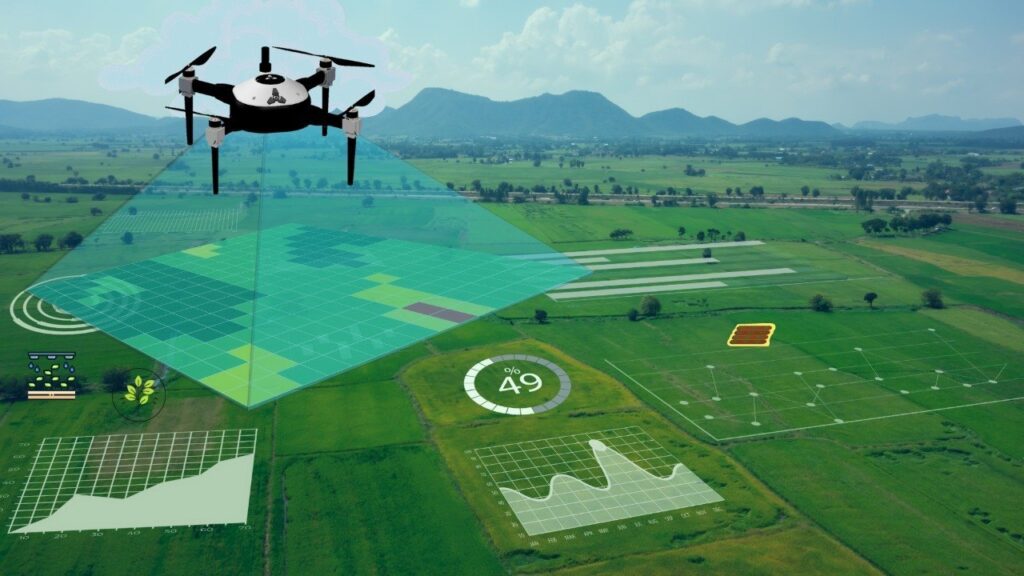
- DGPS (Differential Global Positioning System): DGPS is an enhancement to standard GPS (Global Positioning System) that improves the accuracy of position data. It uses a network of fixed ground-based reference stations to broadcast the difference between the positions indicated by satellite systems and the known fixed positions. This correction data is then used by roving GPS receivers to significantly increase accuracy.
- How it Works: Receives satellite signals, and simultaneously receives correctional data from a base station on the ground to achieve higher accuracy.
- Strengths:
- Ideal for Large Areas: Extremely efficient for covering vast tracts of land, long stretches of roads, pipelines, or large government projects.
- No Line of Sight Required (to target): Can measure points without direct line of sight between the instrument and the target, as long as it has clear sky view.
- Faster Data Collection: Rapid collection of numerous points over large areas.
- Georeferenced Data: Directly provides coordinates in a global coordinate system.
- Limitations:
- Requires Clear Sky View: Performance can be hampered by heavy tree cover, tall buildings, or tunnels.
- Lower Relative Accuracy (compared to Total Station for short baselines): While highly accurate, for very small, localized areas with critical tolerances (e.g., structural beam placement), a Total Station might offer a slight edge.
Choosing the Right Tool for Your Project in Kerala:
- For Large-Scale Infrastructure (Roads, Railways, Irrigation Projects, Large Land Parcels): DGPS is often the most efficient and cost-effective solution due to its speed and ability to cover extensive areas. This is particularly relevant for government bodies and large civil contracting firms.
- For Detailed Site Work (Building Layouts, Foundation Setting Out, Interior Surveys, Small Plots with Obstructions): A Total Station provides the pinpoint accuracy and versatility needed for intricate details and challenging urban environments or densely vegetated sites.
- For Volumetric Calculations on Hilly Terrain: DGPS can quickly capture terrain data over large, uneven areas, making it excellent for initial cut/fill estimations. For more precise, localized earthwork, a Total Station might be used.
- Combined Approach: Often, the most effective strategy involves combining both technologies. DGPS can establish primary control points across a large site, and then a Total Station can be used for detailed work within specific areas, leveraging the accuracy of the DGPS control network.
Conclusion:
At Axis Digital Land Survey and Consultancy, our expertise lies in understanding your project’s unique requirements and deploying the right technology – or combination of technologies – to deliver precise, reliable, and timely survey data. Whether your project is a sprawling highway through the Ghats or a complex multi-story building in Kottayam, we have the tools and the knowledge to ensure its foundational accuracy. Contact us today to discuss how our DGPS and Total Station capabilities can benefit your next endeavor.